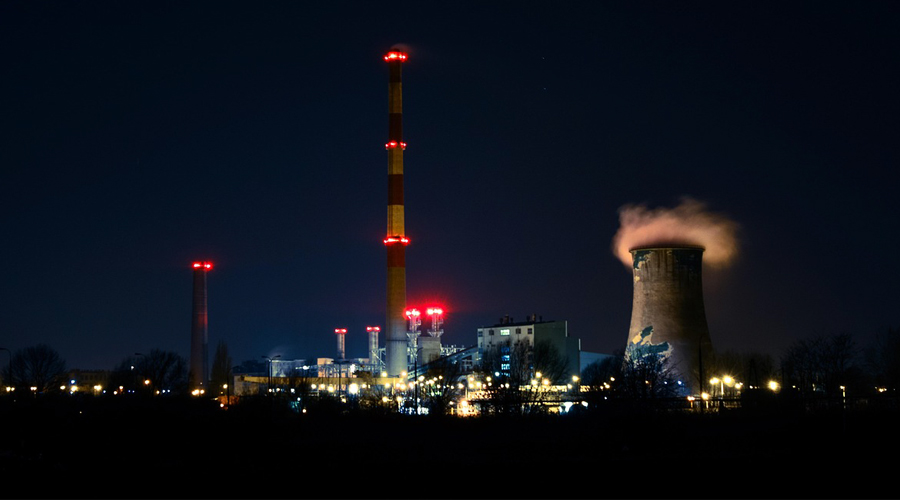
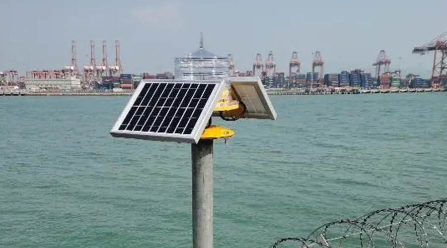
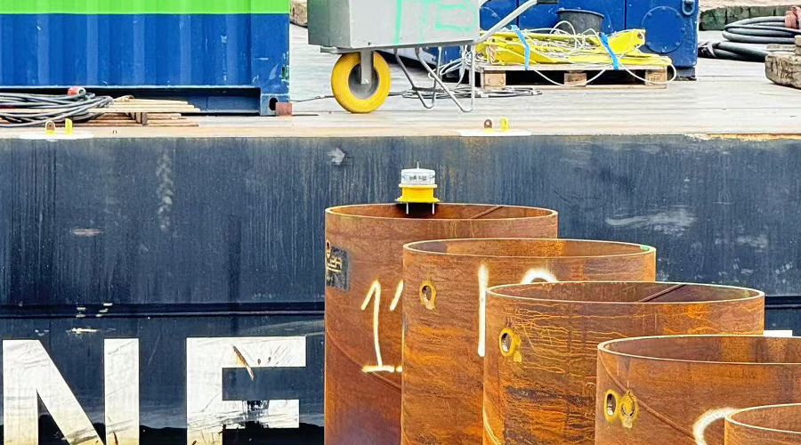
Navigation lights are traffic lights installed on a river/sea or related building to guide ships. It emits a specified light color and flashing frequency at night, achieving a specified lighting angle and visibility distance. It is convenient for ships to navigate at night or on rainy days.
Ship navigation requires the help of visual beacons, sound beacons, and radio beacons. Visual navigation aids are the most convenient for drivers to visually identify, that is, navigation lights. Navigation lights have certain colors for daytime identification and nighttime flashing. Lighthouses, buoys, lamp posts, and lightships are such beacons. Sound beacons can make sounds as needed and can assist navigation in weather with poor visibility. For example, when a ship turns or breaks down and needs help, it will sound the whistle several times according to regulations

Radio navigation aids use radio waves to help ships. Its facilities include radio beacons, radio navigation stations, and radar stations.
Commonly used GPS navigation or Beidou Navigation
Navigation lights are used to mark the scope and route of waterways in rivers. There are river crossing marks, shore marks, guide marks, river crossing guide marks, head and tail guide marks, and bridge culvert marks; for marking obstacles, there are triangular buoys, floating drums, light ships, left and right navigation buoys, rod buoys, etc.;
It is used to indicate the depth of the channel, overhead, and underwater pipelines, predict customs, and direct traffic in narrow waterways. There are water depth signal poles, traffic signal stations, sentry towers, boundary signs, cable signs, cross-current buoys, and wind direction signal poles. Although they are different from each other, they are generally similar.
The paint on the right bank of China’s inland river navigation marks is red and glows at night; the paint on the left bank is white, with white or green lights at night. Most modern navigation equipment has achieved intelligent control, and various signal lights are automatically turned on and off and work automatically.
Indicator lights are used to indicate the direction, boundaries, and obstacles of the waterway, including river crossing signs, coast signs, navigation signs, transition signs, head and tail signs, side signs, left and right navigation signs, position signs, flood signs, bridge and culvert signs, etc., to locate and mark obstacles and issue warnings.
The layout of navigation marks should be based on the specific navigation conditions of rivers, lakes, and reservoirs, indicating safe, economical, and convenient waterways. In order to ensure the safety of navigation in coastal waters, ensure the timely completion of the emergency restoration of navigation marks, timely set up emergency signs, timely complete emergency tasks, timely transmit and process information, and improve the national maritime navigation emergency response capabilities, the China Maritime Safety Administration has formulated and issued the “Maritime Navigation Emergency Management Measures”, conscientiously fulfilled the emergency responsibilities of navigation marks, actively participated in maritime rescue, and continuously strengthened the navigation mark configuration of oil spill treatment equipment.

According to the requirements of my country’s Maritime Safety Administration, the following requirements need to be referred to when installing and using navigation lights:
- Side marker lights:
Function: Set on one side of a shoal, reef, sunken ship, or other obstacle close to the waterway to mark the lateral boundary of the waterway; when set on both sides of a good waterway in a water network area, it should mark the shape of the river bank, spout or tributary that is not navigable, and instruct ships to navigate in the waterway.
Navigation beacon color: white on the left bank, red on the right bank
Light quality: green on the left bank, single flash; red on the right bank, single flash
- Left and right navigation signal lights
Function: set at some obstacles in the center of the river or at the fork of the channel, indicating that there are navigable channels on both sides of the mark.
Navigation aid shape: cone
Navigate beacon color: red and white on both sides of the center line of the beacon
Light quality: white/green, three flashes
Sight distance: 3km
- Bridge culvert beacon
Function: set above the route opposite the bridge navigation hole to guide ships through the bridge opening.
Target shape: square symbol
Color: red
Light quality: red single-sided fixed
Sight distance: 3km


